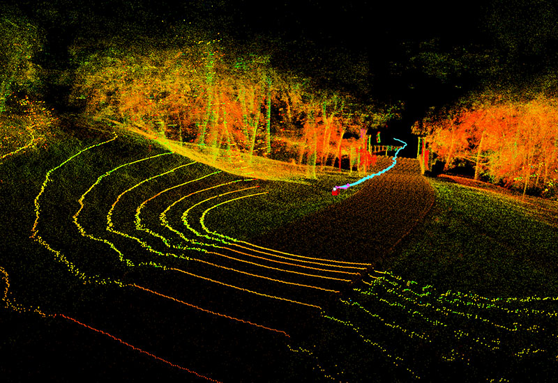
LiDAR systems used to be heavy and were previously only operated from manned planes or helicopters. However, the new Lyra S1 is a compact, lightweight autonomous 3D mapper ready to be used handheld or mounted. Raw data provided by our mapping device can give you a great quantity of information on your scanned object or place. Scan your surroundings and observe your path from bird’s eye view via high-quality maps provided by Lyra S1 mapper. Monitoring fragile coastlines and dunes to be able to understand their origin, map their life cycle and prevent erosion are one of many use cases. Underground drainage analysis is now possible with Lyra S1 penetrating both walls and surface to reveal drainage structure underneath.
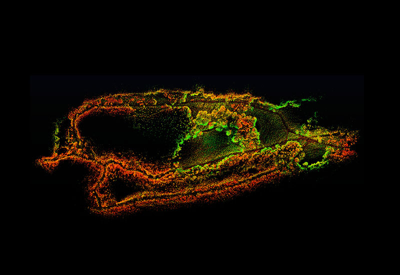
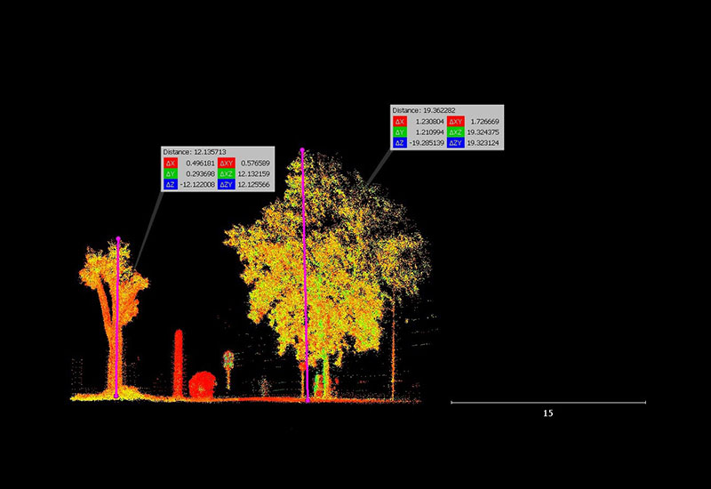
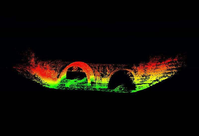
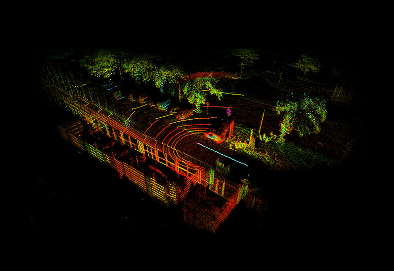
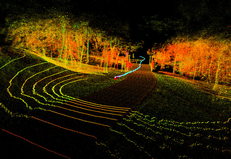
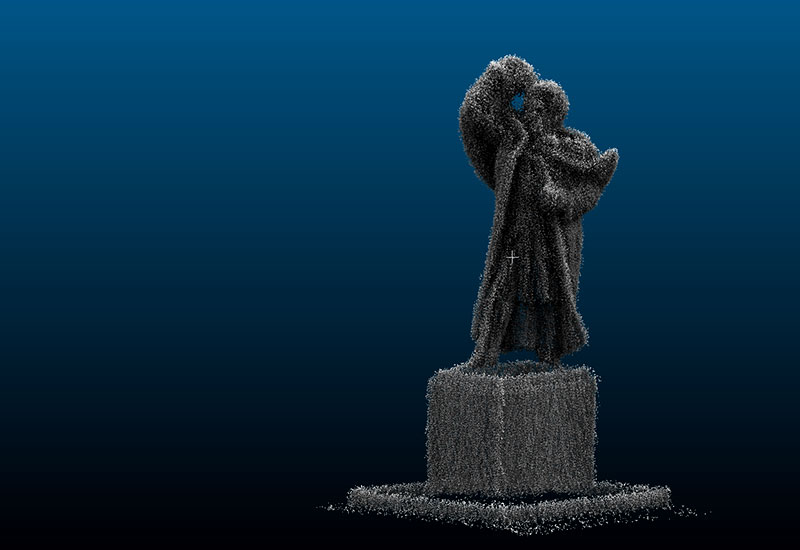
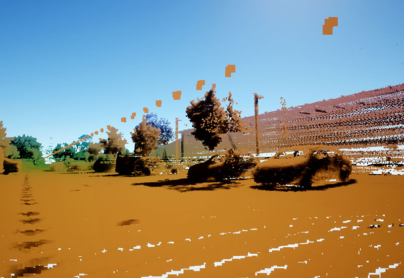
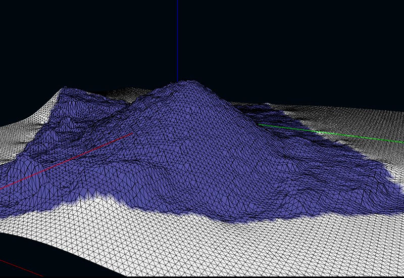
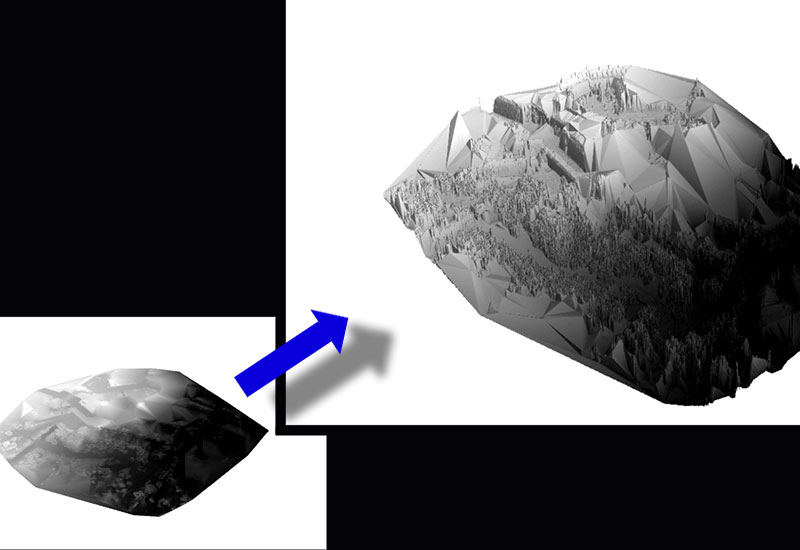
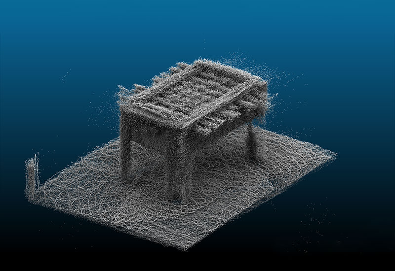
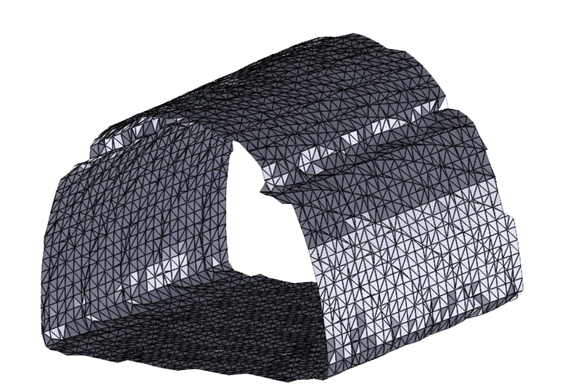
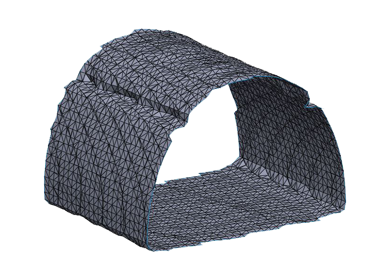
Digital twin cities can be in use of simulations to create preventive measures over hazardous actions. As well as for buildings, to be able to predict consequences during floods and earthquakes followed by tsunami waves.
Product simulations to check product durability and performances without physically damaging the product reduces redesigning.
Why risk it when you can digital twin it?
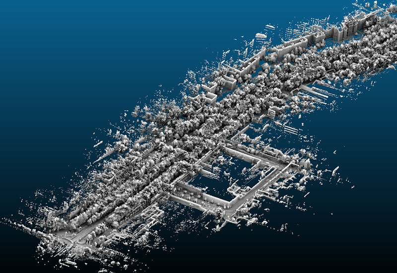

Digital twins
Surveying


3D mapping
